With our past experiences regarding our camera we were very careful to have the spare battery charged and the charger and the spare packed. We were proud of ourselves until I went to take the first picture and had no memory, uugh! I had left the memory card in the computer from the last blog post and unfortunately this was the first trip where I didn't bring the computer with us. So the first half of the trip the pictures are from an Ipad and then in Galicia we purchased the cheapest card we could.
Asturias
Asturia's geography is beautiful with it's rugged coastal cliffs and a very green mountainous and rolling hill interior. Interestingly, Asturias is one of the least religious areas of Europe with 45% of the Asturian population not believing in God or any life force.

There were continuous high bridges and mountain tunnels for the kids to make plenty of wishes.
 Pictured here is an hórreo which is a typical granary from Asturias. The northwest of the Iberian Peninsula (mainly Galicia, Asturias and Northern Portugal), build these from stone, chestnut or oak wood. These are raised from the ground to avoid the access of rodents and moisture. Inside they store grain, nuts, fruits, vegetables, meat etc. They are able to use the underneath area for storage of equipment and firewood.
You can see another asturian hórreo in the center of this picture. We saw these most everywhere in Asturias and Galicia. The style in Galicia is a bit different as you will see in the pictures of Galicia. The oldest document containing an image of an hórreo is from 1280.

After a very long drive in the car we arrived at the Cantabrian Sea and around this corner, Cudillero, in Asturias, Spain.
Cudillero

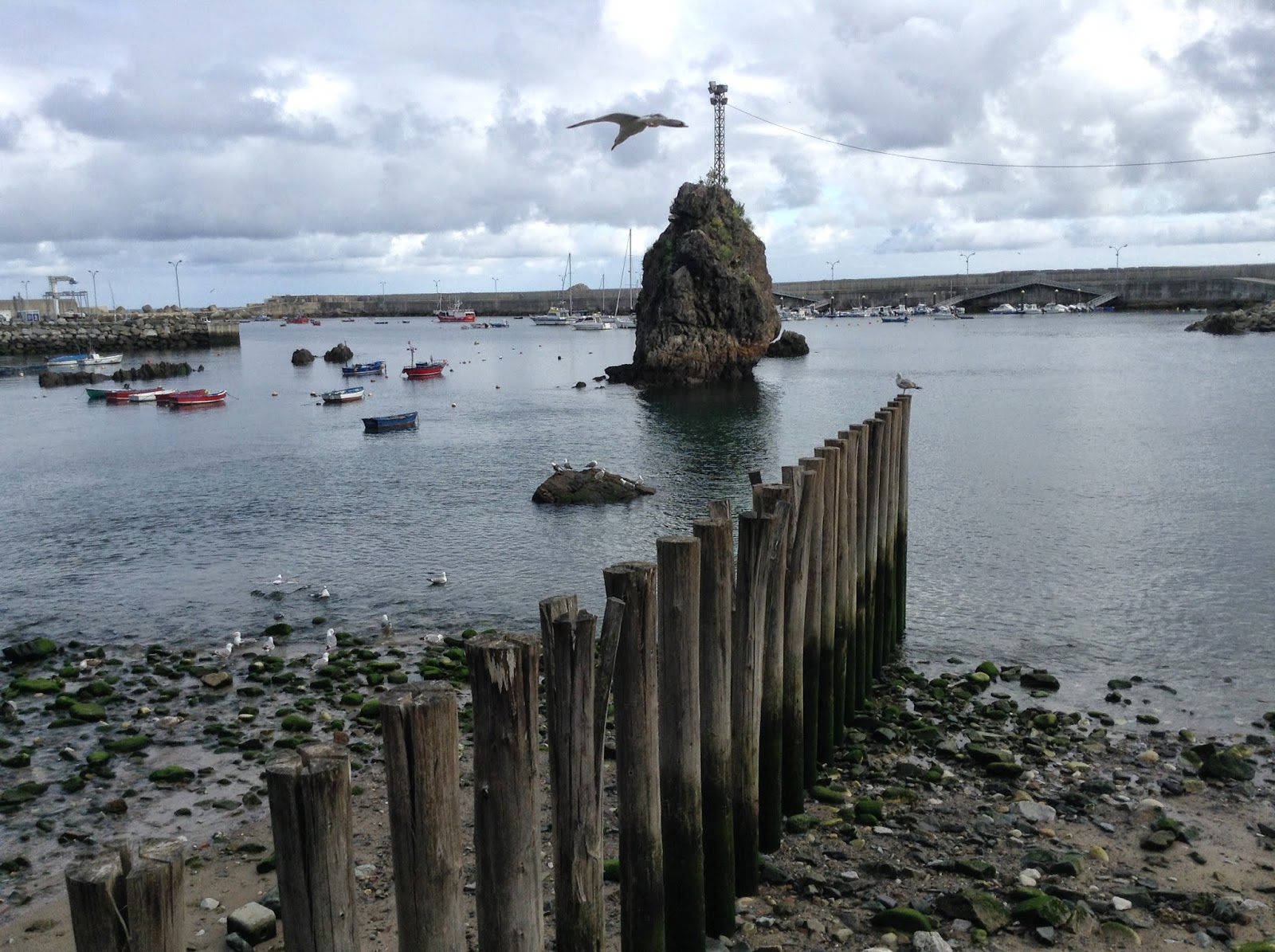
Cudillero is a small picturesque fishing port with a population of over 1600. We stayed in this charming village for two nights. There is very little parking inside the village so we had to park out here at the port and walk into town.

Cudillero has Nordic and Viking roots. Legend says, that it was founded by the Vikings.

People from Cudillero speak Spanish and a dialect called Pixueto, which is a variant of the Asturian dialect and contains words of Nordic origin that are only spoken in this village.
The following morning, we traveled to a historical site Covadonga through the Picos de Europa National Park which contains the highest of the Cantabrian mountain range and arguably the most spectacular mountains, rising to 8,688 ft. Frustratingly we couldn't enjoy them as it was covered with an extremely thick fog. We had been warned that it is quite often foggy in the Picos.
Covadonga
The Reconquista of the Christians and eventual unification of all Spain is said to have started in this very location.Above is the Santa Cueva de Covadonga ( Holy Cave of Covadonga)which is a Catholic sanctuary. The meaning of "Covadonga", is "Cave of the Lady", because the place is dedicated to the Virgin of Covadonga. Allegedly, in the 8th century, the Virgin blessed Asturian Christian forces with a well-timed signal to attack Spain's Moorish conquerors, thereby taking the invaders by surprise.
Pelayo, who led the Christians, built an altar to the Virgin Mary in the Cave as declaration of gratitude for the triumph obtained through her. Pelayo's tomb is also in this Holy Cave. Due to it being a sanctuary, we were not able to take pictures of the inside.
This; however, was taken from inside the cave looking out, so apparently it was okay. In the background you can see the glorious Basilica of Santa Maria la Real de Covadonga. Covadonga is said to be the heart of Asturias.
The statue of Pelayo can be seen in the background on the left. In 722 is when he led the military to victory in the Battle of Covadonga against the Moors, and he later became the first King of Asturias. The victory of Covadonga was the first significant victory by the Christian military against the invasion of the Moors. It was from here that that the return of Christian rule over the entire Peninsula began, starting the so called Reconquest.
There just happened to be an old car show while we were there. Aren't they cute?
And a few more!
The construction of this Basilica began in 1877 which makes it relatively young.

The rosy appearance of the basilica comes from the pink marble excavated from the mountains of Covadonga.
This majestic basilica only took 24 years to build.
On the way back to Cudillero we passed this hanging bridge that we just had to stop and cross. Of course Morgan and I were the first.
Followed by Brent and Kamree taking it a little smoother.
Then Kaiya followed after everyone else was off the bridge to make it less bouncy.
It was impossible to cross it without it bouncing.
Mason decided it was too scary for him so he decided to just watch from the other side.
Knowing what's best for him, Brent returned and walked him over it.
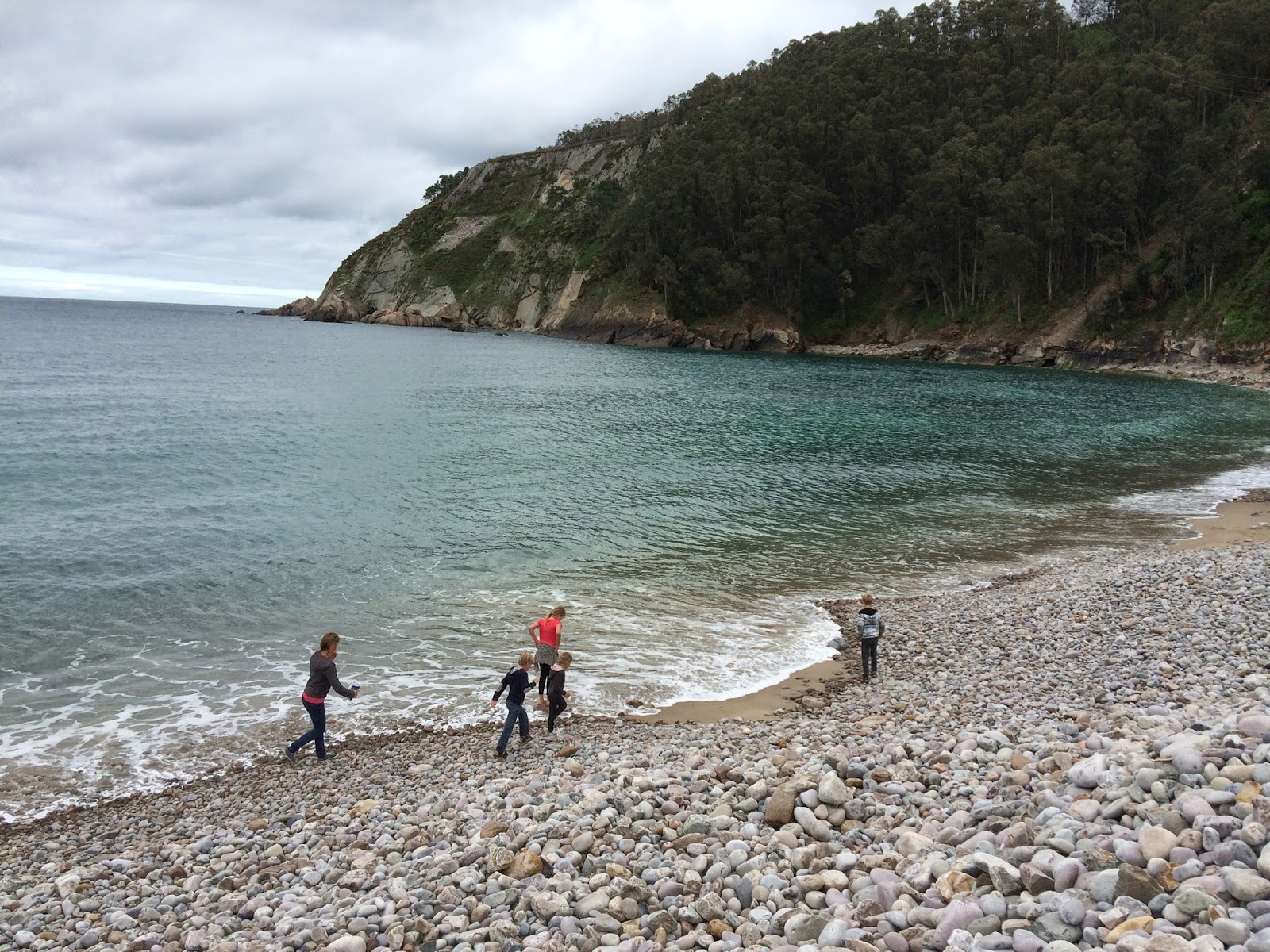
On the other side we were able to access the beach area for a little rock skipping. In this area, we passed several multi-sports parks with kayaks, rope courses and zip lines. If we ever return to this area those activities will be on our list.

We stopped by a couple of beaches on our way back as well. We were simply looking for just the right one.

This was not it since it was too difficult to get past the boulders.
This would have been perfect had there been parking.

After seeing this view we thought we had finally found it.
There was parking, but we then had to hike a few hectometers to access it.

Once we got there it was high tide and too rocky, thus we headed back to Cudillero.

Once back in the village with the colorful houses, we decided to do a little exploring and find our way up to the lookout tower pictured in the top left corner.
To get up to the lookout tower we had to hike through a labyrinth of walkways, stairs, front porches and cats.

There is basically one road in the lower area of Cudillero which drives only through the center. We wondered how the old villagers handled their garbage and groceries.

To the left you can see a yellow church. We stayed in the white building just behind the church to the left a little below the bell tower. Cudillero is known as the “Amphitheatre Cudillero”. Its houses seem to hang from the hills that shelter its port. It's main square, just below in front of the blue buildings (fishing taverns) could well be the stage of an amphitheater
We did eventually find our way to the top, and the view was amazing!
Back down below the village across from the harbor, is where this underground tunneled water supply exits.

Inside the tunnel, we walked all they way through to the other side and up some stairs and felt a little lost as to where we were. After walking around for several minutes we realized we were confusingly in the upper area of the city.
As we returned back down the main street of Cudillero to our hotel, we took this and the following photos of some of it's buildings.
The Next Morning-

I stumbled across a little shop with some huge cinnamon rolls just outside our hotel room. I was a little hesitant that they would taste as good as they looked so we first bought only two of these and could not believe how good they were. Up until this point, we had not seen cinnamon rolls (the real ones) in Spain. In Spanish these are called ''cinnamon snails''.
Luarca
 |
After the cinnamon rolls and packing up we headed to Galicia. This is another beautiful coastal town we just passed through where we stopped solely to take a few photos.
|
And more coastline!
Galicia

Over many more bridges and through several more tunnels and around endless hilly landscape, we made our way to Galicia. Galicia is a largely rural region in the northwest corner of Spain off the coast of the Atlantic Ocean. The Galician population use both Spanish/Castilian and Galician which is closely related to Portuguese. More than 50% of the Galician population speak more in Galician than in Castilian
Cathedral Beach - arguably Spain's #1 Beach

Unfortunately we were not the only ones in Spain that knew about this beach. We had to wait in line to go down the stairs to the beach and try to keep our place as mobs of people were trying to come up and go down at the same time.
Again we had to wait in line to cross this and it was a two hander going up and down each side.
There were several caves along this beach with and without water. We checked most of them out. We avoided the ones where men were doing their business.
This is the most photographed arch that helps give this beach it's name.
In case you didn't notice them in the previous picture, here is a close-up.
After we had enough of the crowds at the Cathedral Beach we decided to drive along the coast to find a less-crowded beach for the kids to swim.
So far so good!!!

Success!!!
A Coruna

Our next two nights were spent on the outskirts of A Coruna- a city of over 200,000 residents on the Atlantic Ocean. This arrival evening was spent checking out the city.
 |
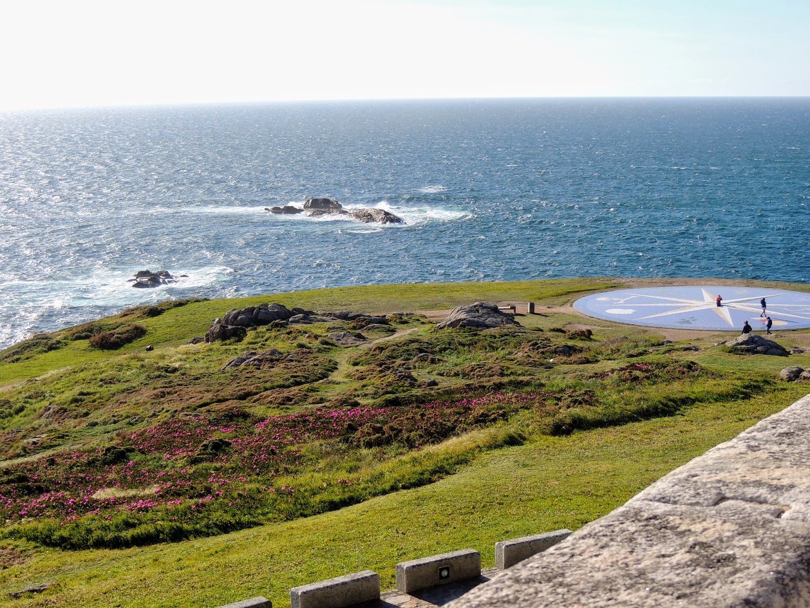
Instead we took pictures from the tower. To the right is a compass rose representing the different Celtic people. This area was supposedly first inhabited by the Artabrians, the Celtic tribe of the area. And as most other areas of Spain, the Romans eventually took over, settling here by the 2nd century.
The kids found the perfect climbing tree within this city!
I was hoping Duffin Dagels was a bagel shop, but no such luck, just a knock off of Dunkin Donuts.
This is the Main plaza with the town hall in the background in the old town area. The people who first settled this area eventually had to move to avoid the continuous attacks by the Vikings.

As we walked through the pedestrian area, we saw several interesting street performers and then we chowed down some healthy food from three different venues: hamburgers and fries, hotdogs and from another pizza.
The next morning we got up early and drove around the corner to this beach. It didn't look too busy when we first arrived but after a couple of hours it was quite packed, with surfing schools, futbol games(no volleyball), runners and sunbathers.
The kids played in the sand, played in the water, played in the sand, played in the water and so forth.
After digging in the sand for several hours they discovered a black slimy, gooey substance they called clay. They constructed all kinds of pots and ____?
Kaiya's addition-(First Kamree was playing in it and then Kaiya told them it was clay, then a few kids came and said" look at the black water" but in Spanish, soon followed by teenagers who were totally grossed out by the gooey substance.)
Here is a close up in case you wanted a better look.
Fortunately, there was plenty of water to rinse it off.
We spent all day here and by the time we left it was as empty as when we had arrived.
That evening we drove up to the Mount of San Pedro Park, for some alleged spectacular views. Here you can see the Tower of Hercules centered in the background.
This is a former military area, with three restored artillery pieces including the one pictured.
Step #1
Step #2. Got it?
Not sure what to say about this. It had been a nice view?
Here you can see the city of A Coruna and maybe Kaiya, Mason and me.
This was a-MAZE-ingly fun!

We were quite hungry after the beach all day and the park in the evening. We thought we could find something to eat as we drove out of the city to see some of the country side. Somehow we forgot nothing in Spain is open for dinner before 8:30.
Spain's National Statistics Institute estimates that there are around 2,900 empty/abandoned villages/hamlets across the country. Over half the hamlets are in Galicia.

They practically give these hamlets/villages away to those that have a plan for them, which includes bringing them back to life.

This is a Galician style hórreo, granary, storage house.
This is what the more modern Galician horreos look like more or less.
Santiago de Compestela
The next morning we began our drive home with a detour in Santiago de Compestela to go to church and to see the following church that is said to have the remains of Saint James.On the miraculously discovered spot where the bones of the Apostle had been buried, a basilica was constructed around 818 during the reign of Alfonso II, king of Asturias.
This famous pilgrimage site became a symbol in the Spanish Christians' struggle against the Muslims. Thousands of pilgrims carrying the scallop shell and the pilgrim's staff for centuries have walked to the Galician sanctuary along the paths of Santiago/James which continues today although most don't use the scallop shell and staff.
This area was destroyed by the Muslims at the end of the 10th century, and then completely rebuilt in the following century around the Apostle's tomb, which had not been violated. The oldest monuments are grouped around the tomb of Santiago/James and the cathedral The main body of the cathedral, was consecrated in 1211.
As luck would have it, we arrived on a day that the church was not accessible to the public or at least at first. The prime ministers of Japan and Spain were visiting the church and so we waited along with everyone else for them to exit so that we could go in.
In the center with the glasses is the prime minister, Mariano Rajoy of Spain and the prime minister, Shinzō Abe of Japan is on his right. There were also many newscasters, personnel and security including on top of the buildings throughout the plaza.
The red barrier here in front of us snapped and opened just before the prime ministers exited which made me jump and likely startled security since it was so loud. After the prime ministers passed, these officers came up and asked Mason for his hand so they could cuff him and take him to jail for it.

We finally made it in the church and in time for mass. The gold area behind the priest is where the tomb of Santiago/James is said to be. We had intended to check it out, unfortunately the line was a couple hundred people long. We had already waited a couple of hours to get into the church and still had a 6 hour drive home so we snapped a few pictures and headed home.


